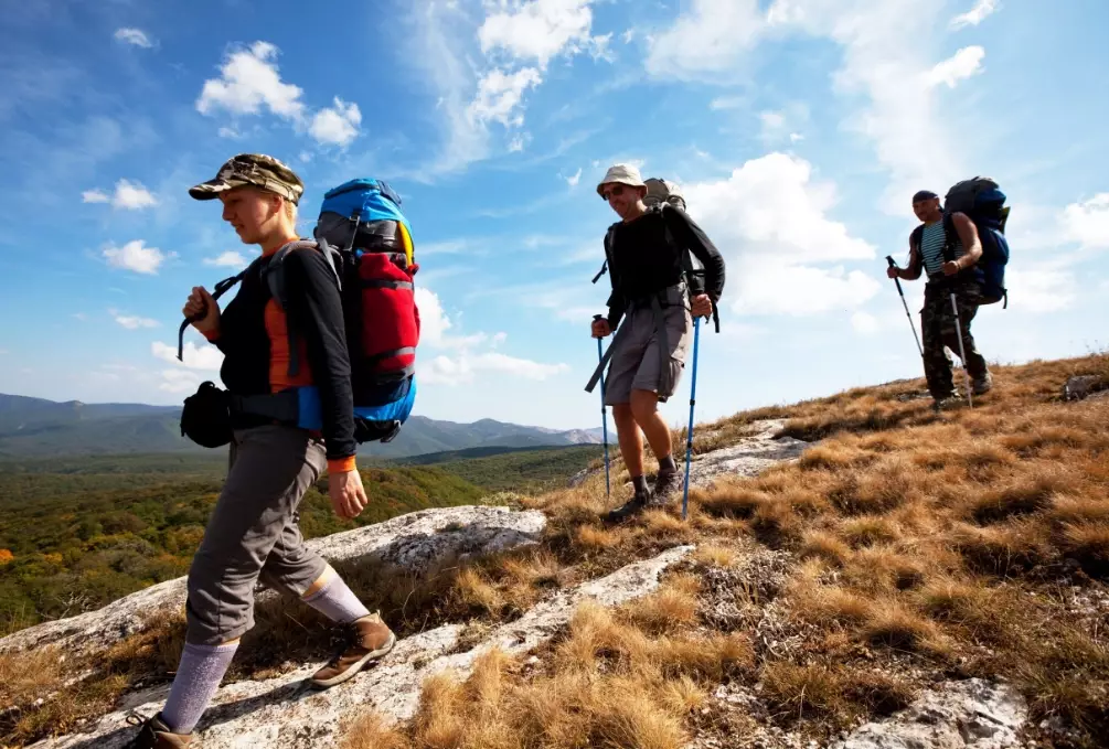
You're six miles into a backcountry loop when your hiking partner slips on a wet rock. It's not just a scratch; their ankle is at a bad angle, and they can't put weight on it. Cell service vanished two hours ago. This is the moment your GPS hiking tracker stops being a fancy map and becomes your most critical piece of emergency gear. But here's the uncomfortable truth most gear reviews don't mention: simply owning a device with an SOS button isn't enough. You need to understand the system, its limitations, and the human protocols that make it work. Misunderstanding this can waste precious rescue resources or, worse, leave you waiting for help that never comes.
What You'll Learn in This Guide
How Does a GPS Hiking Tracker Emergency Feature Actually Work?
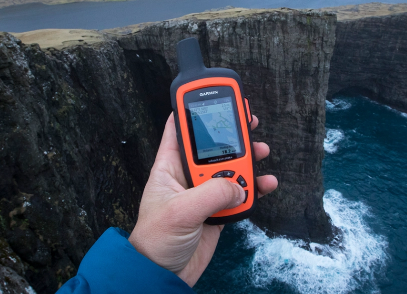
It's not magic. When you trigger the SOS function on a device from Garmin, SPOT, or inReach (by Garmin), it does two main things. First, it uses satellites—not cell towers—to get your precise coordinates. This is key. Second, it sends a digital distress signal via a commercial satellite network. This signal goes to a 24/7 emergency monitoring center. I used to think the signal went straight to local sheriff's departments. It doesn't. It goes to professionals who then coordinate with the appropriate local Search and Rescue (SAR) team based on your location.
The monitoring center also receives your pre-set profile information (if you filled it out—more on that later). They'll try to contact your emergency contacts. The response isn't instant like dialing 911. There can be a delay of several minutes to over an hour, depending on satellite coverage, terrain, and the complexity of mobilizing a remote rescue team.
The Two-Way Communication Advantage
This is where modern devices shine and where old-school personal locator beacons (PLBs) fall short for most hikers. Devices with two-way messaging (like Garmin inReach or some SPOT models) let the monitoring center text you back. They might ask: "What is the nature of your emergency? Are you mobile? How many people are with you?" This information is gold for SAR teams. It helps them decide if they need a helicopter or a ground team, what medical equipment to bring, and how many responders to send. A one-way SOS just says "HELP HERE," which is far less efficient.
The Non-Negotiable Setup You Must Do Before the Trail
Buying the device is step one. Configuring it is what makes it useful. I've seen too many people pull a tracker fresh out of the box on the trailhead parking lot. Big mistake.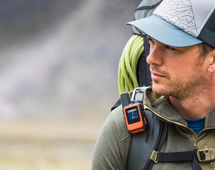
The Most Common Mistake: People assume the SOS button summons help like a superhero signal. They forget that the device needs to know who you are and who to call before it can be useful. An anonymous SOS is vastly harder to respond to.
Here’s your pre-hike checklist, non-negotiable:
- Create and Publish a Detailed Trip Plan: Email it to at least two reliable people. Include your planned route (with named trails and waypoints), your vehicle description and license plate, the gear you have (tent, stove, extra layers), and your expected return time. The National Park Service emphasizes this as the single most important thing you can do. If you don't check in, your contacts know where to tell rescuers to start looking, even if your tracker fails.
- Fully Set Up Your Device Profile Online: Log into the service portal (Garmin Explore, SPOT My Globalstar, etc.). Input your medical info, emergency contacts with phone numbers and their relationship to you, and any critical details like allergies. This data is attached to your SOS signal.
- Test the Messaging & Tracking: At home, with a clear sky view, send a test message to a friend. Turn on tracking and see if your map share link works. Do this days before your trip, not minutes.
- Understand Your Subscription: Most devices require a monthly or annual plan. Know what it covers. Does it include SAR insurance? (Many do, up to a limit). What are the messaging limits?
How to Choose the Right GPS Hiking Tracker for Emergency Use?
It's not about the shiniest screen. It's about reliability and the right feature set for your type of hiking. A thru-hiker on the Pacific Crest Trail has different needs than a weekend warrior in a state park.
| Feature to Consider | Why It Matters for Emergency Use | Good For... |
|---|---|---|
| Two-Way Satellite Messaging | Allows communication with rescue coordinators to clarify the situation. You can also message contacts for non-life-threatening help (e.g., "car broke down, will be late"). | Anyone going beyond reliable cell coverage, especially solo hikers. |
| Global Coverage vs. Regional | Devices using the Iridium network (most Garmin inReach) work literally everywhere. Others may have gaps in deep canyons or high latitudes. | International travelers, adventurers in very remote or polar regions. |
| Battery Life (with tracking on) | If you use the tracking feature so others can follow your progress, it drains the battery fast. An emergency device that's dead is useless. | Multi-day trips where charging isn't possible. Look for 30+ hour battery in tracking mode. |
| Durability & Waterproof Rating | It needs to survive a downpour, a drop on rocks, and extreme temperatures. Look for IPX7 or higher. | All environments, but critical for alpine, rainforest, or desert hiking. |
| Intuitive SOS Button Design | Can you activate it with gloves on? Is it protected from accidental presses? It should be easy to find but hard to trigger by mistake. | Winter hiking, high-stress situations where fine motor skills degrade. |
My personal take after using several models: For most North American hikers, a device on the Iridium network is worth the premium for peace of mind. The coverage is just more consistent in tricky terrain like deep river valleys where other networks can struggle.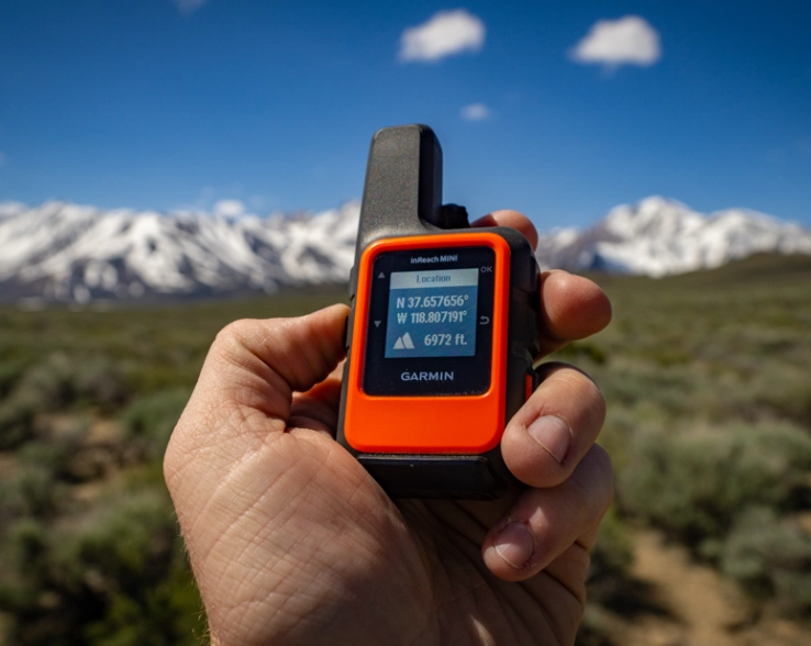
The Real Decision: When Should You Press the SOS Button?
This is the gray area. There's no perfect algorithm. The general rule from SAR professionals is: Press SOS when you have exhausted all self-rescue options and believe there is a threat to life, limb, or eyesight.
Let's break that down with scenarios:
Press SOS: A compound fracture. Chest pains and shortness of breath at high altitude. A severe allergic reaction with swelling. Being lost in a white-out blizzard with hypothermia setting in. A snake bite with progressive symptoms in a remote area.
Maybe Don't Press SOS (Yet): You're out of water but know a stream is a mile ahead. You twisted an ankle but can hobble out with a trekking pole splint. You're lost but it's daytime, you have shelter, food, and can retrace your steps. In these cases, use two-way messaging to update your contacts on a changed plan before escalating to a full SOS.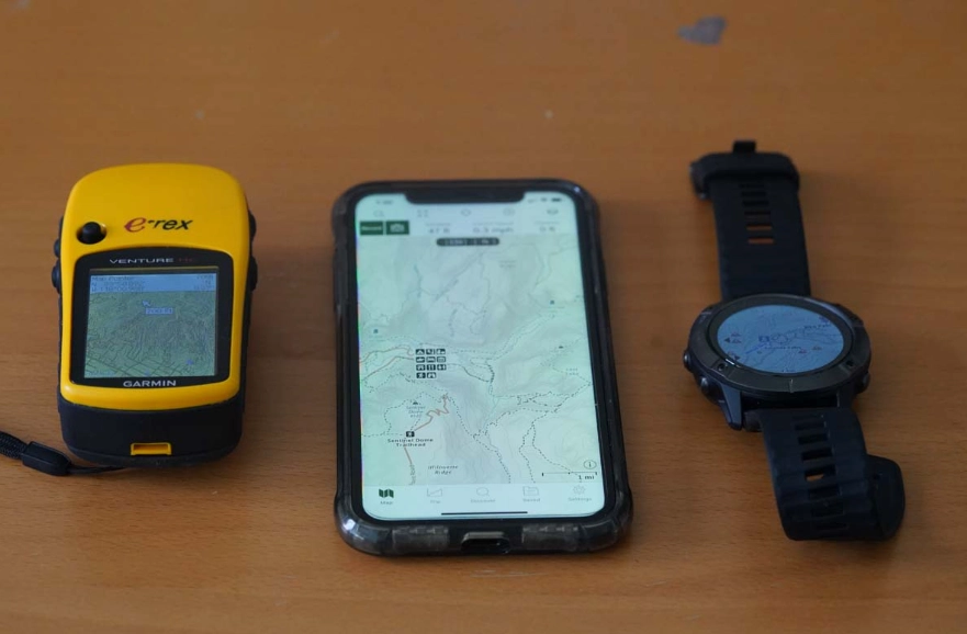
One nuanced point: If you're alone and your situation is deteriorating—even if slowly—erring on the side of calling for help earlier is better. A rescue in daylight is safer for everyone than a desperate nighttime extraction.
What Happens After You Press It?
Once activated, shelter in place if safe to do so. Secure your location. Make yourself visible. If you have two-way comms, answer the monitoring center's questions clearly. Conserve your device's battery. Do not move unless your immediate location becomes dangerous (like an approaching wildfire). Moving makes it harder for rescuers to find you.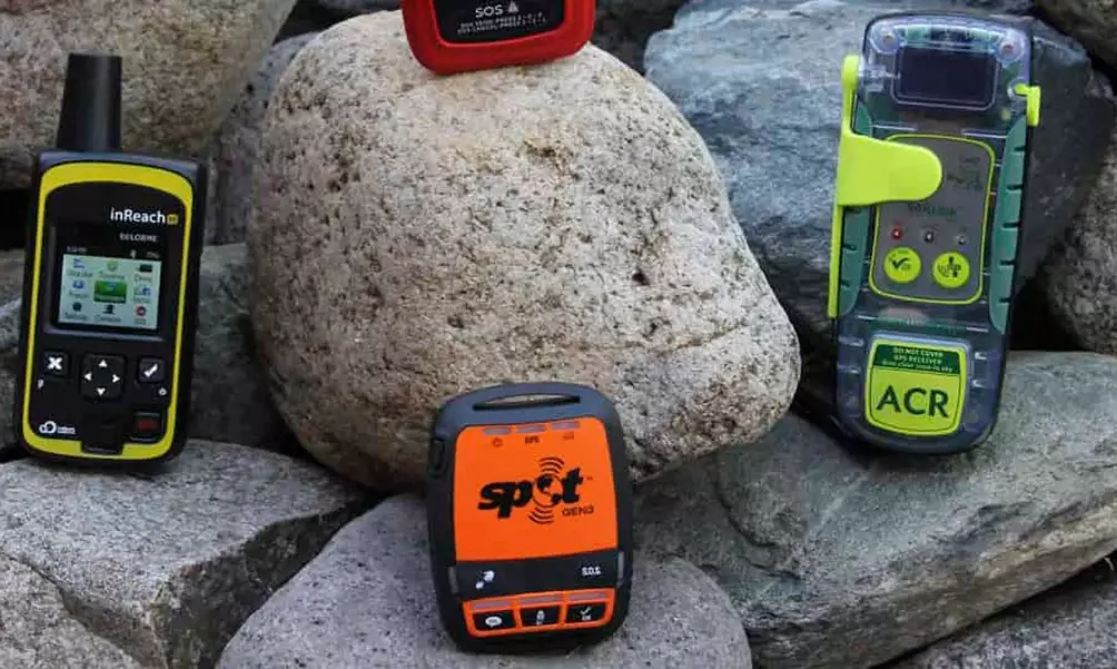
Your GPS Emergency Questions, Answered by Experience
If I accidentally press the SOS button, will I get charged for a rescue?
Immediately cancel the SOS if it was an accident. All major devices have a cancel procedure (often holding buttons in a specific sequence). Contact the monitoring center through messaging to confirm the false alarm. While policies vary, most SAR teams operate on a "no charge for rescue" principle for genuine accidents to avoid discouraging people from calling for help. However, repeated negligent false alarms could lead to fines. The real cost is diverting resources from a potential real emergency.
My friend has a GPS tracker. If we hike together, do we both need one?
It's not strictly necessary, but it's a robust backup. The risk is if you get separated and the person with the tracker has the emergency. The person without it is now in a far worse situation. If sharing one, have a clear plan: the device stays with the group, never with a single person if they wander off. For any serious off-trail travel or in a large group, having two devices is smart risk management.
How reliable is the SOS signal in a dense forest or narrow canyon?
Satellite signals need a relatively clear view of the sky. In a steep, narrow canyon or under a thick canopy, it can take longer for the device to get a "fix" and send the message. The device will keep trying. This is why the initial setup of sending regular check-in messages is crucial—if your last known location was at a canyon rim, rescuers have a starting point. For maximum reliability in tough terrain, try to move to the most open area you safely can, like a riverbank or clearing, before triggering SOS.
Can I use my smartphone's satellite emergency feature instead of a dedicated tracker?
Newer iPhones and Androids have satellite SOS features (like Emergency SOS via satellite). They are a fantastic backup and have saved lives. However, I don't recommend relying on them as your primary backcountry emergency tool yet. Battery life is a huge concern—a dedicated tracker lasts days, a phone in satellite mode may last hours. Dedicated devices are also more rugged, waterproof, and have physical buttons easier to operate with cold, wet hands. Think of your phone's feature as a brilliant backup to your dedicated GPS hiking tracker emergency system, not a replacement.
What's one thing even experienced hikers forget about their tracker before a big trip?
They forget to enable the "active tracking" or "map share" feature and send the link to their emergency contact. This is a game-changer. Your contact can open a webpage and see your little dot moving on a map in near-real-time. If the dot stops moving for an unusually long time in a strange place, they have actionable information. It turns your emergency contact from a passive note-taker into an active safety monitor. It also provides a breadcrumb trail directly to you if you can't press SOS.
The bottom line is simple. A GPS hiking tracker with emergency functions is one of the most significant safety advances for outdoor enthusiasts in decades. But its power isn't in the hardware. It's in the human system around it—your prepared plan, your informed contacts, and your calm decision-making under pressure. Invest the time to learn it, set it up right, and carry it on every hike beyond the sound of road noise. It's the one piece of gear you hope you never need, but will be eternally grateful for if you do.