Let's cut to the chase. You want a reliable GPS for the backcountry, but you're done with monthly fees. You're not alone. The promise of "free" smartphone apps often fades when you're ten miles from the nearest cell tower with a dying battery. A dedicated, subscription-free hiking GPS is about one thing: dependable, self-contained navigation. I've spent over a decade guiding and hiking off-trail, and I've learned the hard way that your navigation tool shouldn't rely on a corporate server or a cell signal to keep you found.
This guide isn't about listing every spec. It's about identifying which devices actually deliver on the promise of no-subscription hiking GPS functionality, where they excel, and where they might frustrate you. We'll look at the top contenders, break down what "no subscription" really means for each, and I'll share some field-tested tricks that most manuals leave out.
What's Inside?
What "No Subscription" Really Means for Hikers
First, let's clear up the confusion. "No subscription" doesn't always mean "free maps forever." It means the core GPS functionality—getting your coordinates, tracking your path, marking waypoints—works indefinitely without paying a dime after purchase. The catch is often with maps.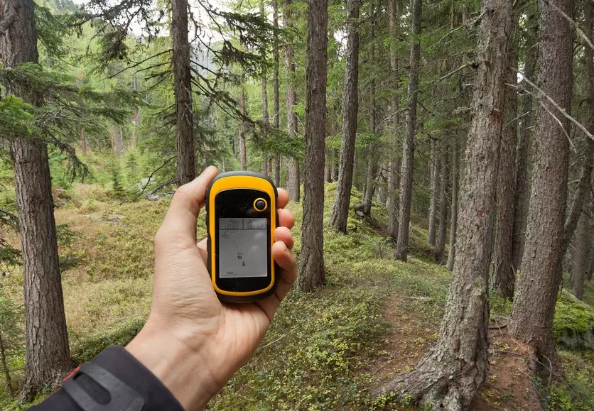
The Map Dilemma: Most devices come with a decent basemap. Think of it as a digital outline of the world. For serious hiking, you need topographic details: contour lines, trails, streams. You can often add these via free, community-driven maps (like OpenStreetMap-based ones) or by purchasing region-specific map packs once. That one-time purchase is not a subscription. A subscription is like Garmin's Birdseye Satellite Imagery or inReach's two-way messaging, which require ongoing fees.
So, your goal is a device where the navigation engine itself is subscription-free, and you can source detailed maps through one-time methods. That's the sweet spot.
Top Picks: No-Subscription Hiking GPS Devices Reviewed
Based on years of personal use and guiding, here are the devices that truly stand out for subscription-free hiking. I'm focusing on how they perform in the field, not just their spec sheets.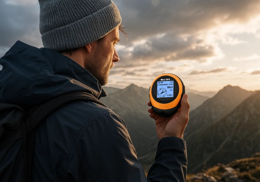
| Device | Key Strength | Battery Life (Real Use) | Map Strategy (No Sub) | Rough Price | My Take |
|---|---|---|---|---|---|
| Garmin eTrex 32x | Ultimate Simplicity & Durability | 25+ hours (AA batteries) | Preloaded TopoActive maps. Add free OSM maps via computer. | $300 | The workhorse. No frills, no touchscreen, just a rock-solid button-operated GPS that always works. The screen is small but sunlight-readable. It's my go-to loaner for beginners. |
| Garmin GPSMAP 67i | Gold Standard + Optional SOS | 180 hours in GPS mode | Preloaded TopoActive maps. Satellite imagery requires subscription. | $600 | This is the one I carry on serious solo trips. The battery life is insane. The "i" model has satellite messaging/SOS via a subscription, but the core GPS works perfectly without it. You're paying for the best antenna and reliability in the business. |
| Suunto 9 Baro | GPS Watch with Navigation | 25-120 hrs (varies by mode) | Relies on paired smartphone for detailed maps. Watch has basic breadcrumb navigation. | $350-$500 | A different approach. This is a fitness watch first, with excellent GPS for tracking. For full topographic navigation, you use the Suunto app on your phone (download maps for offline use). It's a great hybrid if you want health stats and solid track-following on your wrist. |
| TwoNav Devices (e.g., Cross) | Open-Source Map Flexibility | 16+ hours | Designed for free OSM maps. Extremely flexible file management. | $200-$400 | The tinkerer's choice. Less polished software than Garmin, but if you love loading custom maps, trails, and points from various sources, it's incredibly powerful. Support in the US is less robust, a factor to consider. |
I've stopped recommending dedicated units that lock advanced features behind a paywall. The ones above give you a complete, usable tool out of the box.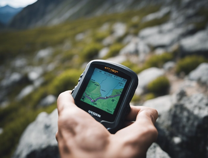
A common mistake? People buy the fanciest model with satellite messaging and think they need the subscription for the GPS to work. Not true. With a device like the GPSMAP 67i, you can skip the inReach plan entirely and still have the best hiking GPS on the market.
How to Choose the Right No-Subscription GPS for Your Hiking Style
For the Weekend Trail Hiker
You stick to established trails and want something simple. The Garmin eTrex 32x is perfect. Load the trail GPX file from a site like AllTrails or the National Park Service, and follow the line on the screen. Its AA battery life means you can use cheap rechargeables and never worry about a proprietary charger dying.
For the Off-Trail Explorer & Backpacker
You need detail, reliability, and battery longevity. The Garmin GPSMAP 67 series (non-"i" or "i" without subscription) is the top choice. The ability to see a dense topo map on a large, clear screen when you're route-finding in a whiteout is priceless. Pair it with free maps from sources like GPS File Depot (though their updates are less frequent now) or invest in a Garmin 24K Topo map for your region once.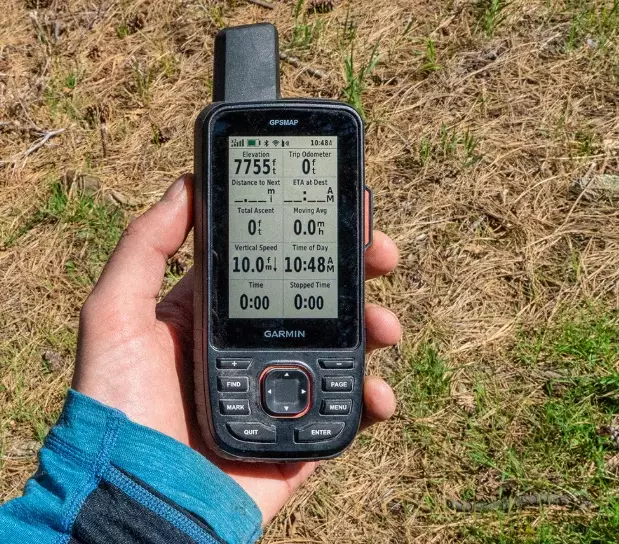
For the Runner & Fastpacker Who Hikes
If you want navigation on your wrist and hate stopping, a high-end GPS watch like the Suunto 9 Baro or a Garmin Fenix (with similar phone-synced maps) works. Understand the limitation: the on-wrist map detail is minimal. You're using it to follow a pre-loaded track. The real map is on your phone, which you should carry as a backup anyway. This system is surprisingly effective and lightweight.
Pro Tips & Tricks: Getting the Most from Your Device
Here's where that "10 years of experience" part comes in. These tips solve real problems you'll encounter.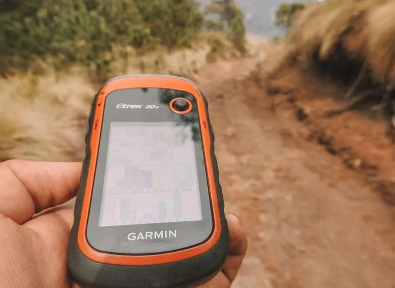
- Calibrate Your Compass (Seriously, Do It). Every manual says this, almost no one does it regularly. A digital compass that isn't calibrated is worse than useless—it gives you false confidence. Do it every time you change regions or batteries. It takes 60 seconds.
- Master the Waypoint. Not just for marking the car. When you hit a confusing trail junction, drop a waypoint called "JCT." If your route later seems wrong, you can navigate back to that exact spot. It's a digital breadcrumb that's more reliable than just following your track backwards.
- Battery is Everything. In cold weather, keep the device inside your jacket. Cold kills lithium-ion batteries. For AA units, use Lithium-primary batteries (like Energizer L91) for cold trips; they last far longer than alkalics or rechargeables in the cold.
- The Map Load Test. Before any big trip, zoom in on your intended area on the device. Pan around. If the map is slow to draw or shows blank squares, your map file isn't fully loaded or is corrupted. Fix it at home, not at the trailhead.
My personal rule? I always carry a printed paper map and compass as the absolute backup. A GPS is a tool, not a guarantee.
Your Questions, Answered (The Real Stuff)
I mostly use my phone with Gaia GPS or AllTrails offline maps. Why should I buy a dedicated device?
Phones are fantastic secondary tools. The primary weakness is battery and durability. A phone's GPS chip is also less sensitive, struggling under heavy tree cover or in deep canyons. A dedicated GPS has a superior antenna, is weatherproof, and is designed to run for days. On a multi-day trip, a dead phone is a crisis. A dead GPS means switching to your paper map.
What's the single most reliable, no-fuss GPS for deep wilderness where I absolutely cannot get lost?
The Garmin eTrex 32x. It's not glamorous. But its button interface works with gloved or wet hands, it takes universally available AA batteries, and its software is simple and stable. I've seen touchscreens fail in rain. I've never seen an eTrex just stop working. Pair it with a good paper map, and your navigation system is bombproof.
I see the Garmin inReach Mini 2 is popular. Can I use it as a subscription-free GPS?
This is a critical distinction. No, you cannot. The inReach Mini 2 is primarily a satellite communicator. Its basic GPS functions (showing coordinates, a crude track) work without a subscription, but it has no map screen. You cannot navigate with it standalone. It's a brilliant SOS/tracking device, but a terrible primary navigation GPS. Don't buy it for that.
How often do I need to update the free OpenStreetMap (OSM) maps on my device?
For most established hiking areas in the US and Europe, an update every 1-2 years is fine. Trails and major features don't change that quickly. The bigger issue is map quality varies by region, as OSM is volunteer-driven. Always check your planned route on the loaded map at home. For brand-new or obscure trails, the OSM data might be better than commercial maps, or it might be absent. Cross-reference.
Choosing the best hiking GPS without a subscription boils down to matching the device's strengths to your specific needs and understanding that true reliability comes from skill, not just technology. Invest in a robust device, learn to use it well, and always—always—carry that paper backup. Your safety is worth more than any monthly fee.